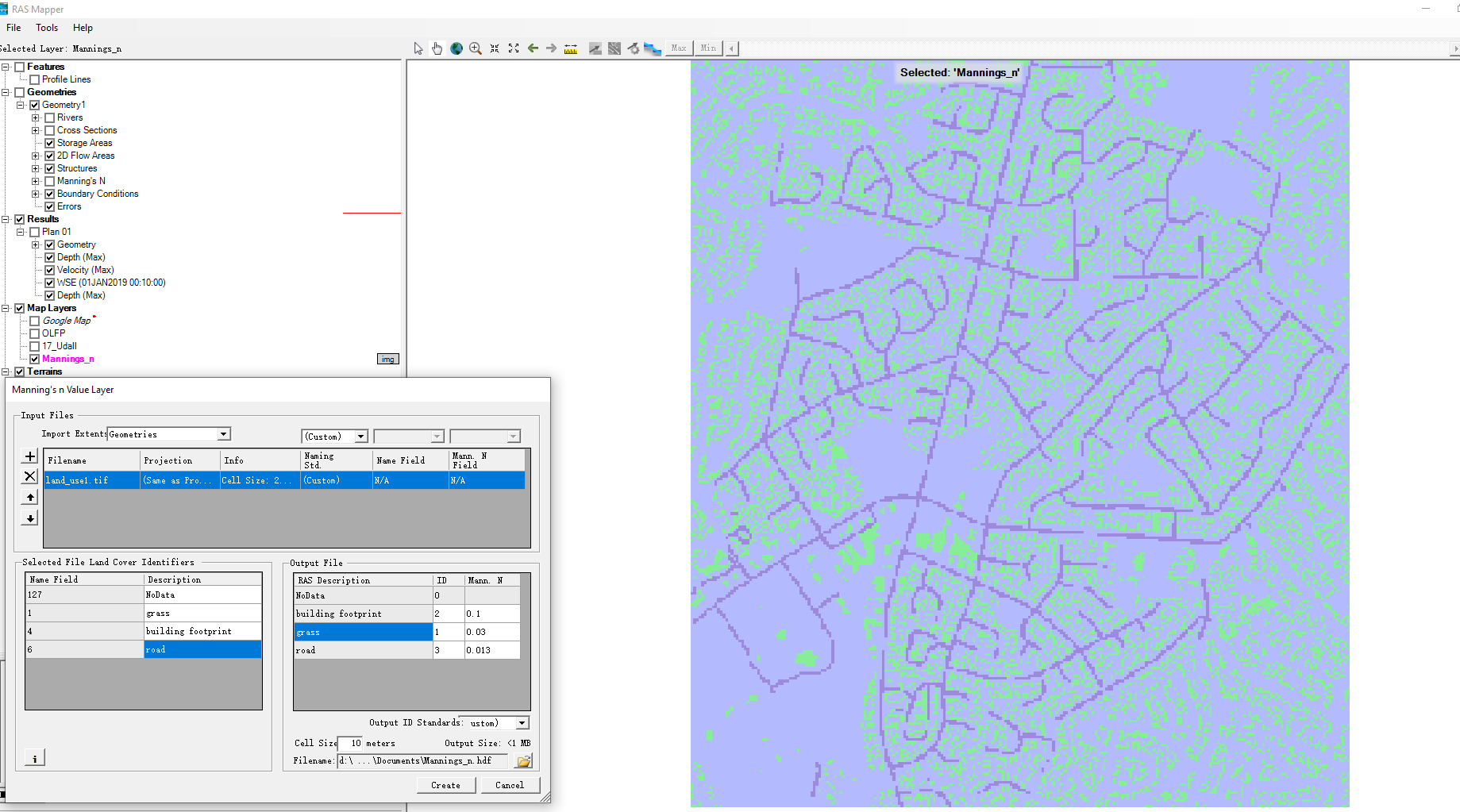
For 2D analysis in HEC-RAS, we may need to a land use map to assign the manning factor as . How to make it? Of course we can make the detailed land use map by analyzing satellite imagery. But for a simple model, sometime we do not need such a detailed plan. Today I would like to introduce a way to make simple land use map
First, we should download DEM data, building footprint and road information from Auckland Council Geomap.
Data Loading
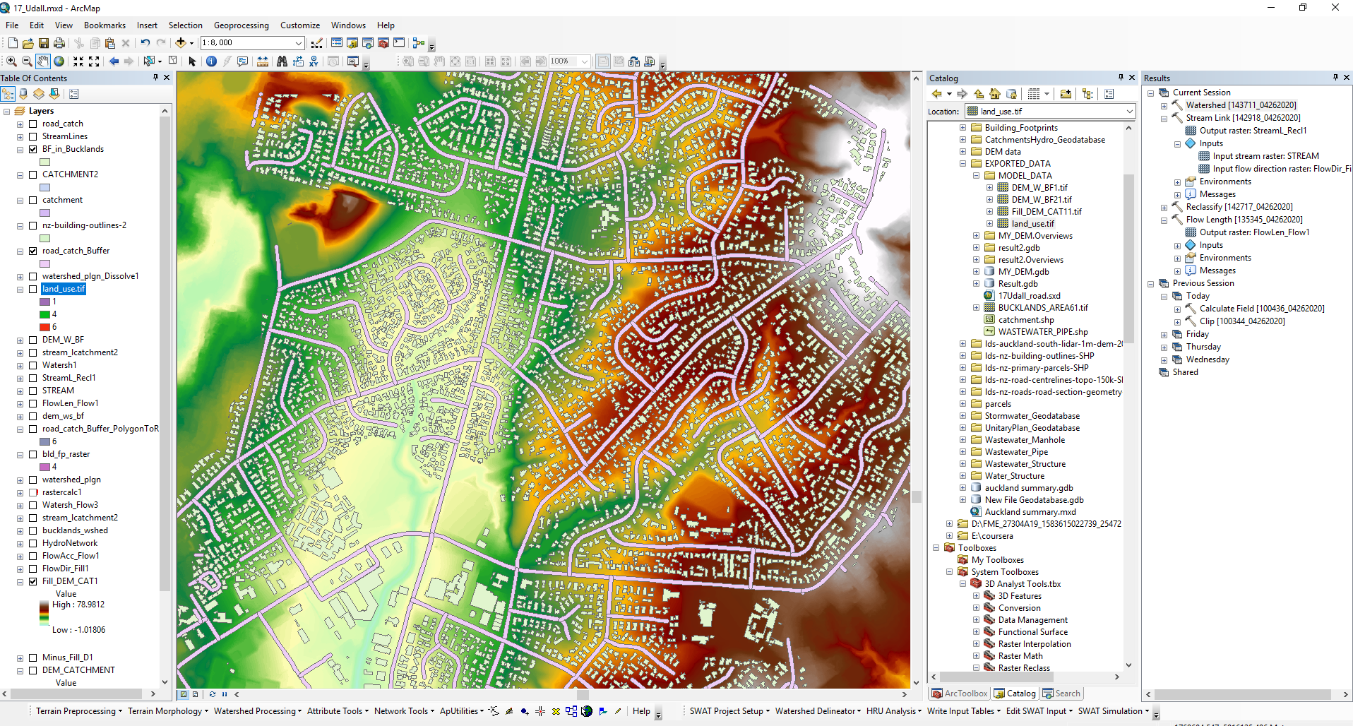
After loading all the data, we can have a map as below.
Now we need to assign different area with different values, and then merge them together.
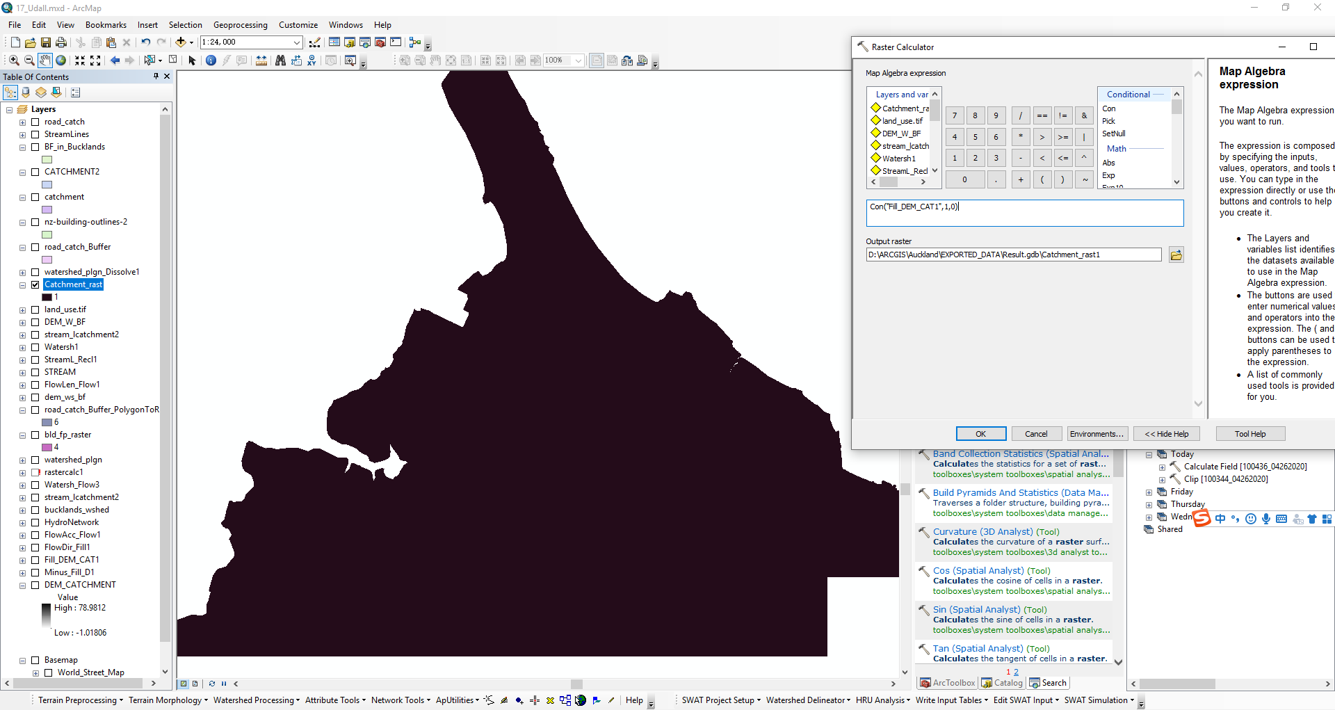
Raster Calculator
Firstly, we treat the whole catchment area by assigning “1”.
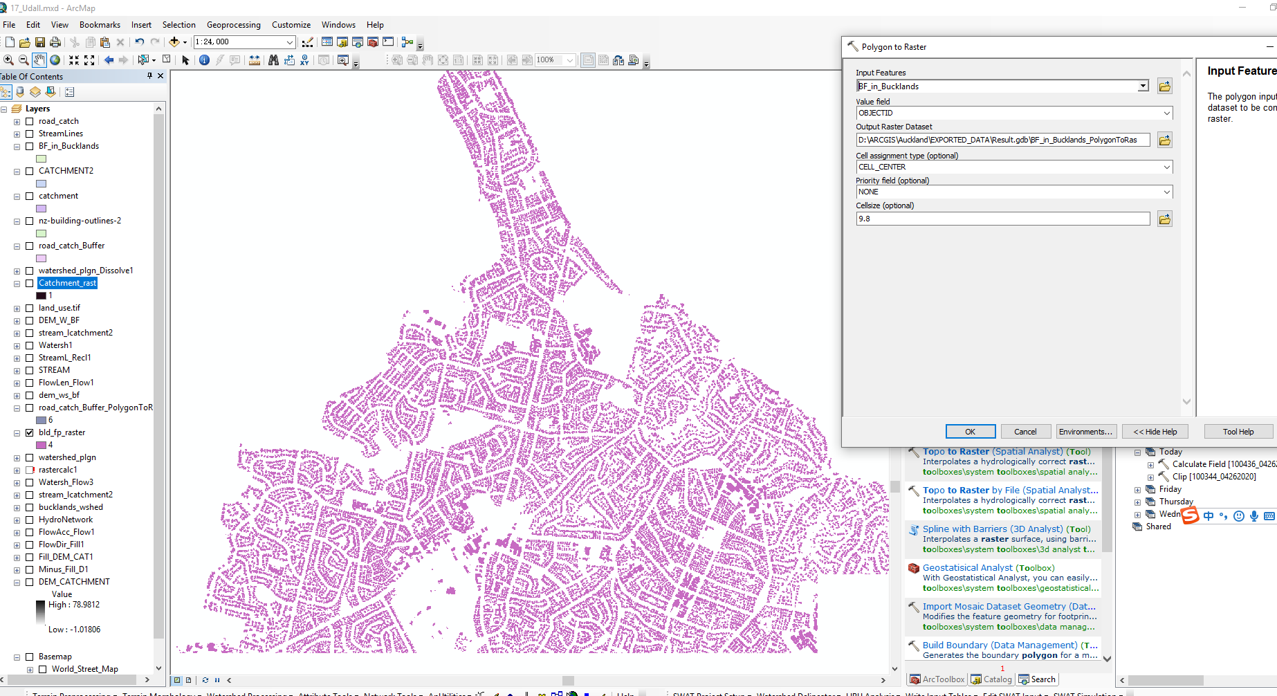
Secondly, we apply .\3D Analyst Tools.tbx\Triangulated Surface\Interpolate Polygon to Multipatch to assign the footprint area with value “4”.
Similarly, we apply .\3D Analyst Tools.tbx\Triangulated Surface\Interpolate Polygon to Multipatch to assign the roading area with value “3”.
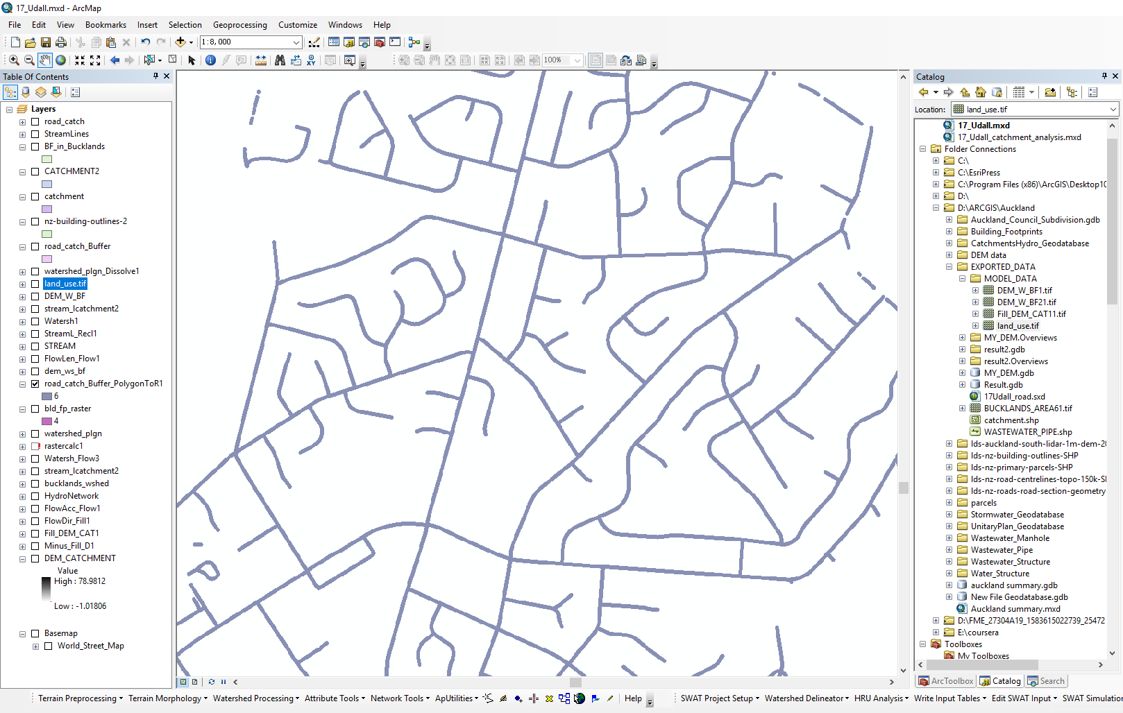
Merging the files
.\Spatial Analyst Tools.tbx\Local\Cell Statistics is used to merge the three raster together.Final result will be as the First Photo.
We just finished a simple one, but the complex one is same, just to merge more seperate raster files.