On Auckland Council Geomap, we can download the high resolution DEM data, but the uplimit area is 6 Square Km. What if the catchment area we are interested in is more than the number, than we can download the DEM data from LINZ.
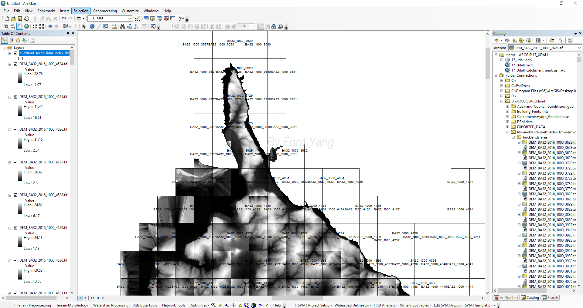
Raster files check
After download the DEM data in Auckland area, we will find that there will be many different raster files, which is not available for analysis. So we need to merge many raster files into one raster file.
Location check
Firstly, we need to check the name of related raster files in our interested catchment, find all the raster files and then move them into one folder.
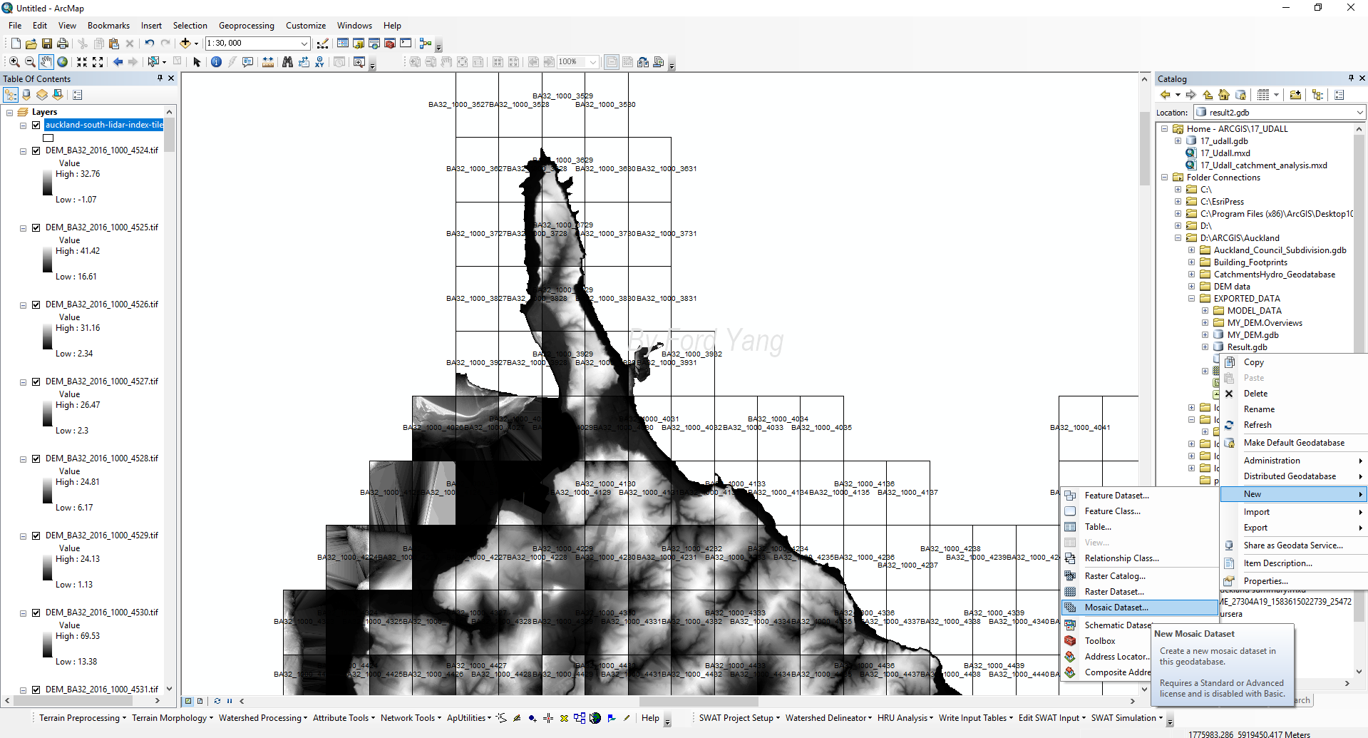
Create an empty Mosaic Dataset
Create an empty Mosaic Dataset as the route in the figure below.
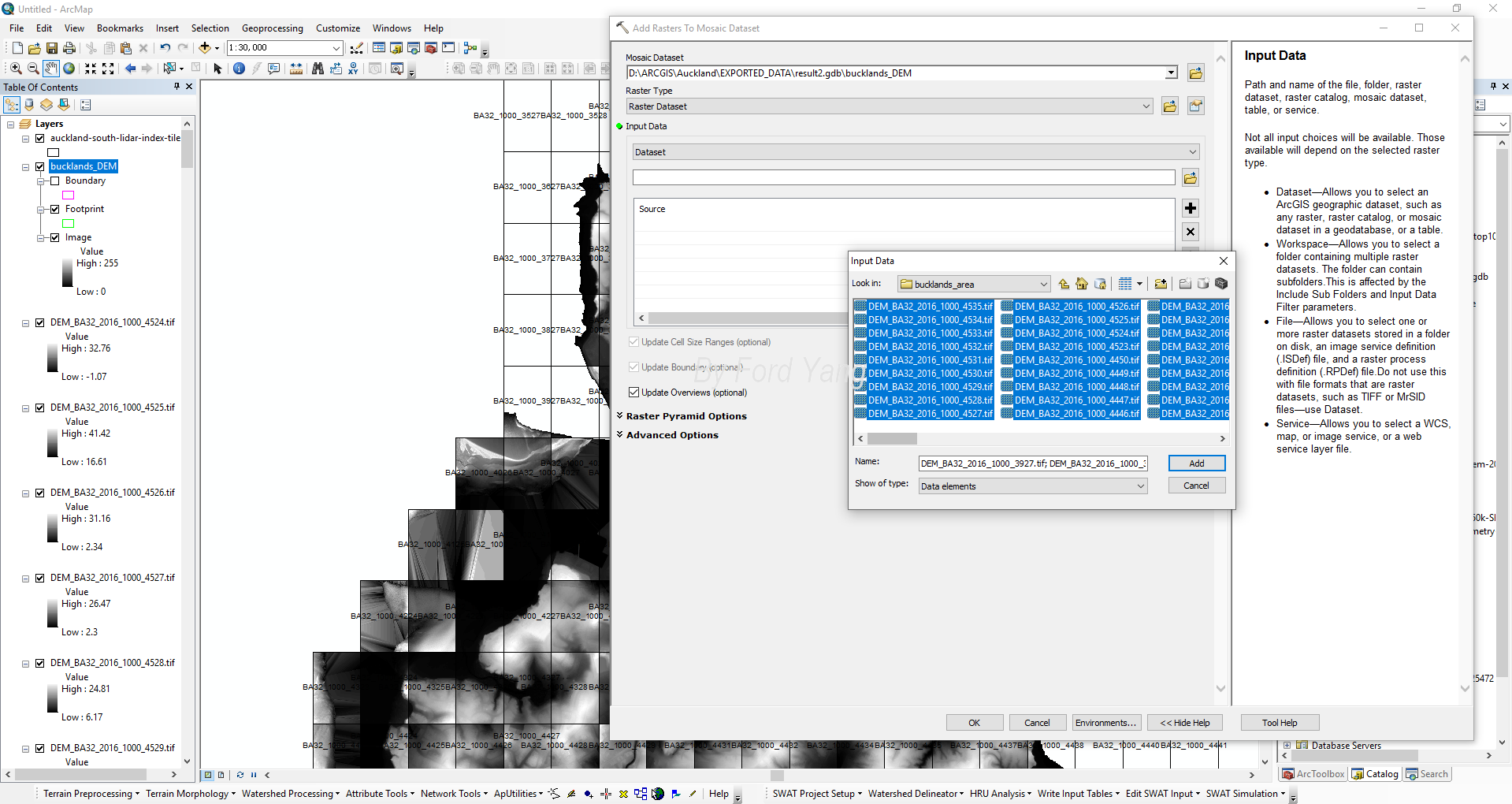
Then we need to add the raster data into the empty Mosaic. Directly right-click the file and choose “add raster”.
Select the files we have picked from the last steps, remember to check the “Upload Overview” box.
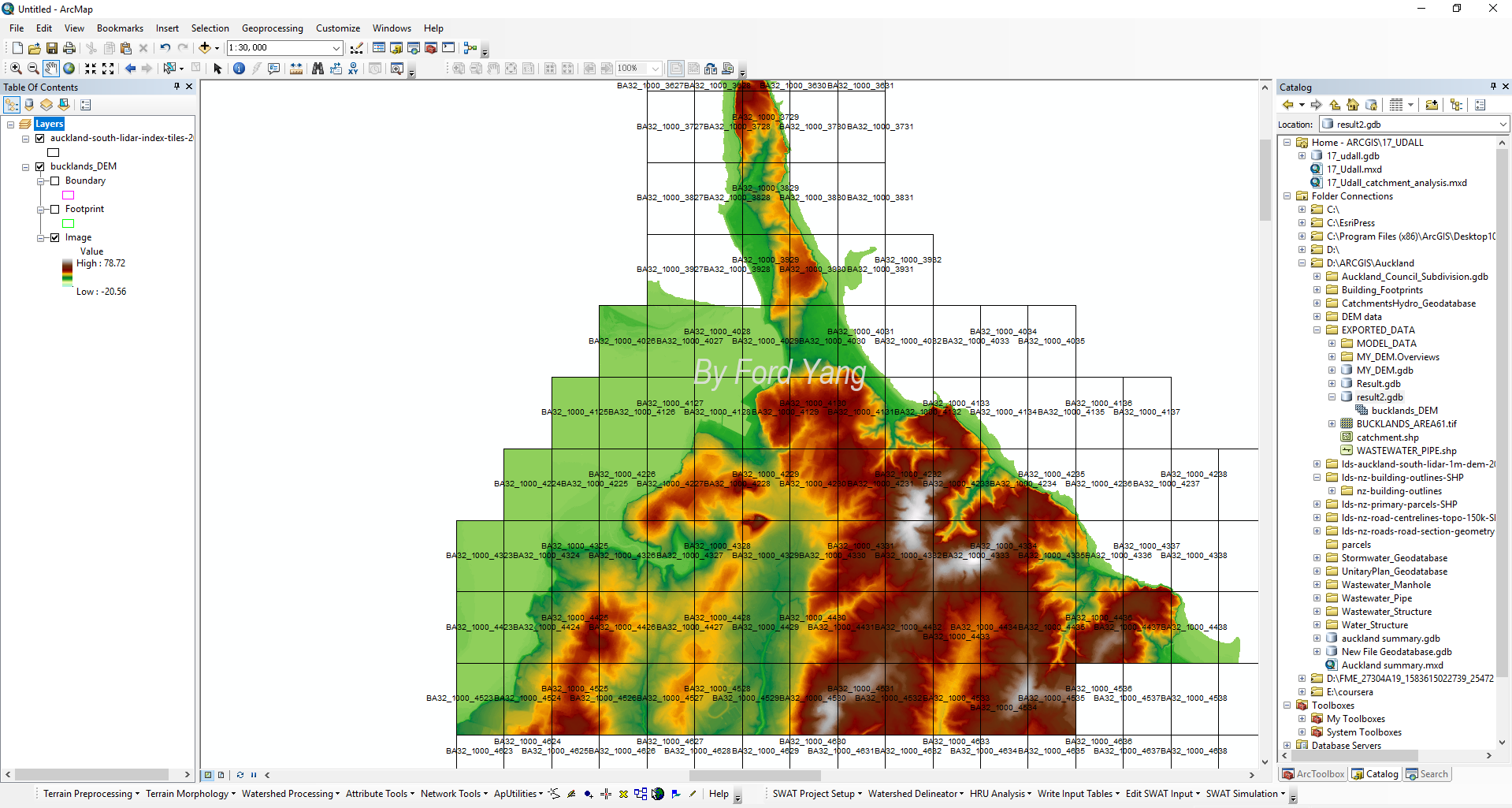
Final result
Wait for several seconds or minutes, the raster will output.